Scenic Drives in Utah’s National Parks
By Judy Jewell and W.C. McRae, authors of Moon Zion & Bryce
Sometimes you barely need to get out of the car to enjoy southern Utah. These scenic drives are perfectly enjoyable from behind the windshield, but all offer chances to stop and explore stunning national parks and monuments.
Zion-Mount Carmel Highway
Starting point: Zion Canyon Visitor Center
Ending point: Mount Carmel Junction (at Hwy 9 and Hwy 89)
Mileage: 24.5 miles (39 km) one-way
Driving time: 2 hours
From Zion Canyon Visitor Center, this road climbs through a series of switchbacks, passes through a long tunnel (or a much shorter alternate), and provides access to the canyons and high plateaus east of Zion Canyon, where you’ll find fewer hikers than on the canyon trails. Take the easy 1-mile (1.6-km) round-trip Canyon Overlook Trail to peer down at the Great Arch of Zion, a “blind” arch that’s not carved all the way through.
Even if you’re not up for a hike, be sure to stop and admire Checkerboard Mesa, a huge lump of hatch-marked sandstone right at the road’s edge. From the east entrance to the park, the road continues about 13 miles to its junction with Highway 89. From here, head north to Bryce Canyon National Park or south to the Coral Pink Sand Dunes State Park, the town of Kanab, and the southern part of Grand Staircase-Escalante National Monument.
Bryce Scenic Drive
Starting point: Bryce Canyon Visitor Center
Ending point: Rainbow Point
Mileage: 36 miles (58 km) round-trip
Driving time: 3-4 hours
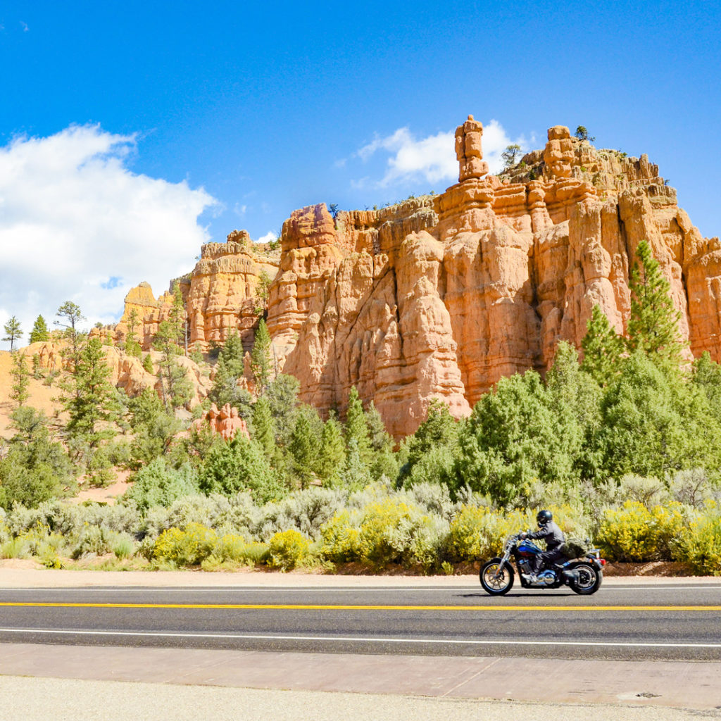
As you head out from the visitors center, don’t be immediately tempted by the turnoff for the amphitheater: continue south and climb 18 miles (29 km) and 1,100 feet (335 m) to Rainbow Point. Here you’ll get an overview of most of the park. A short walk away, Yovimpa Point looks out onto the cliffs and terraces of the Grand Staircase. Turn the car around and take your time coming back. (All sites will now be on the right side of the road, making turns easy since you’re not turning against traffic.). Stop to photograph the Natural Bridge and the panorama from Farview Point.
After about 15 miles (24 km), stop to check out the views of the hoodoo-studded amphitheater from Bryce Point and Inspiration Point. Head to the lodge for a bite to eat and the half-mile walk on the Rim Trail to Sunrise and Sunset Points. For one last view, turn in to Fairyland Point; the access road is just before you leave the park (but after the pay station).
Highway 12
Starting point: Junction of Hwy 89 and Hwy 12, near Panguitch
Ending point: Junction of Hwy 12 and Hwy 24, Torrey
Mileage: 123 miles (198 km) one-way
Driving time: 4 hours-1 week
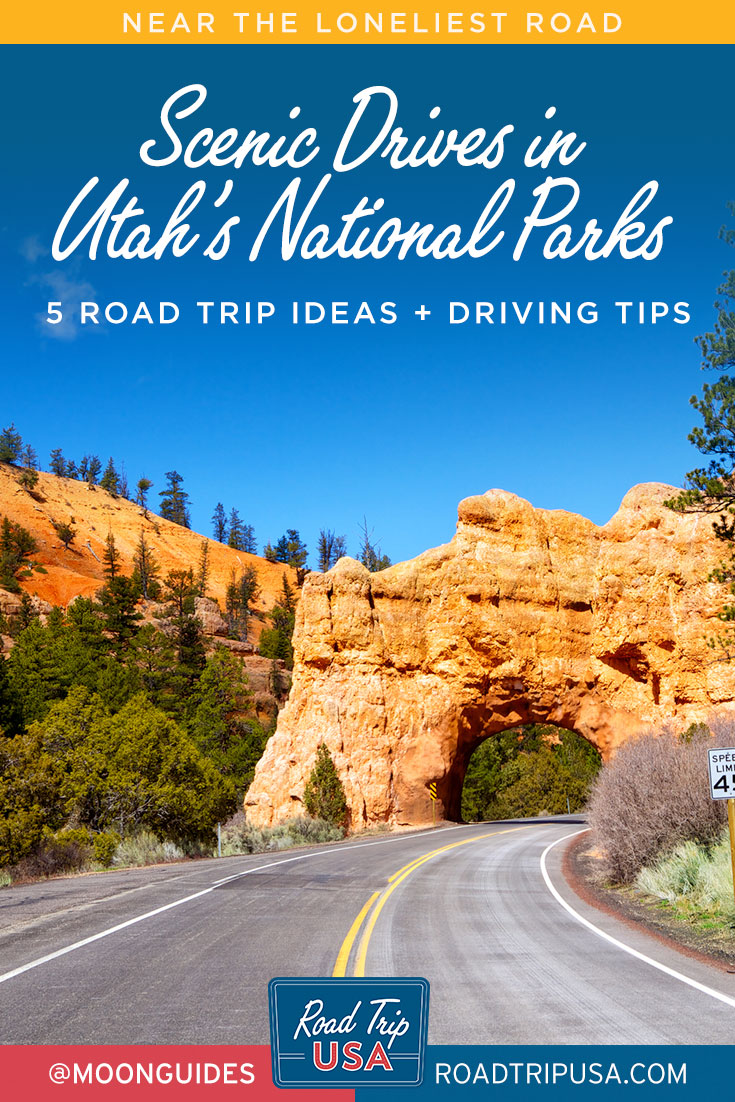
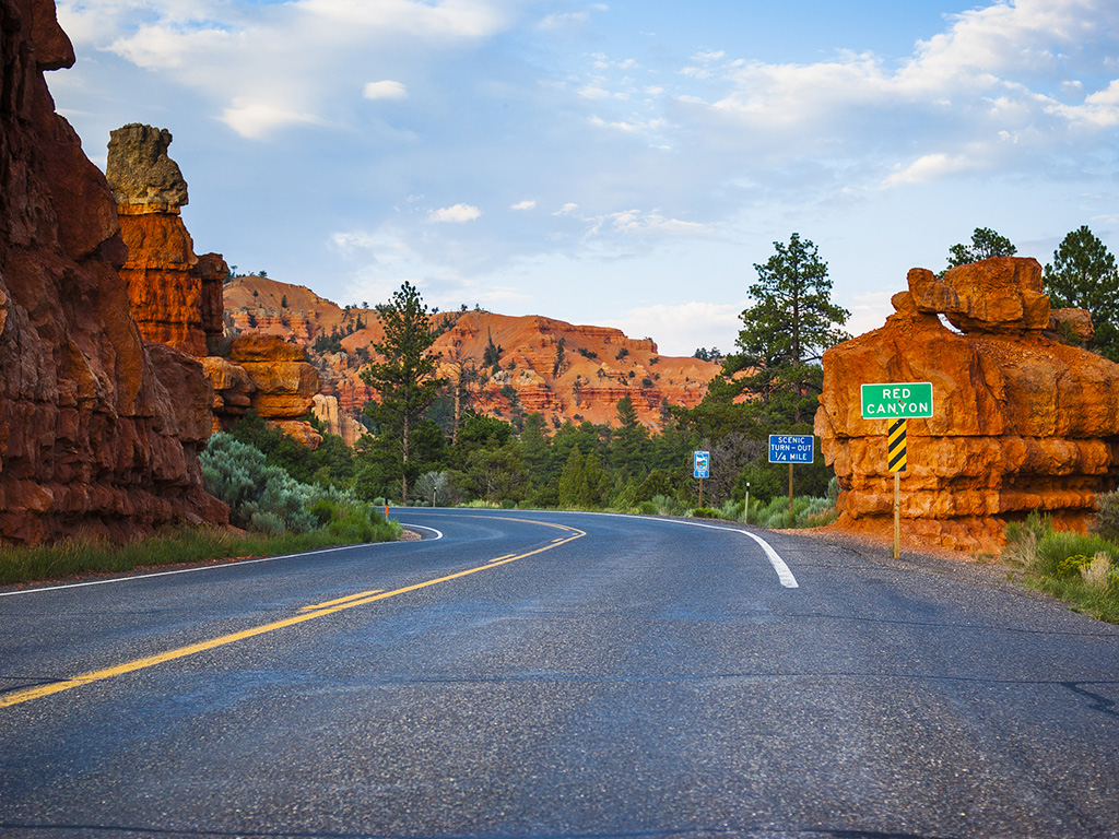
This “All-American Road” from Highway 89 near Panguitch to Highway 24 in Torrey packs in more parks, monuments, and geology than just about any other road in the country. Pass through red rock arches in Red Canyon, skirt the edge of Bryce Canyon National Park, get within close range of Kodachrome Basin State Park, and continue east through the northern edge of Grand Staircase-Escalante National Monument, crossing the Hell’s Backbone Bridge and the narrow Hog’s Back to Boulder. The road turns north to cross over Boulder Mountain, with views of the Colorado Plateau, and practically lands in the lap of Capitol Reef National Park. You’ll pass cliffs, rock spires, petroglyphs, and views of the Grand Staircase. There are lots of chances to get out and explore.
The Capitol Reef Scenic Drive
Starting point: Capitol Reef Visitor Center
Ending point: Capitol Gorge
Mileage: 21 miles (34 km) round-trip
Driving time: 1.5-2 hours
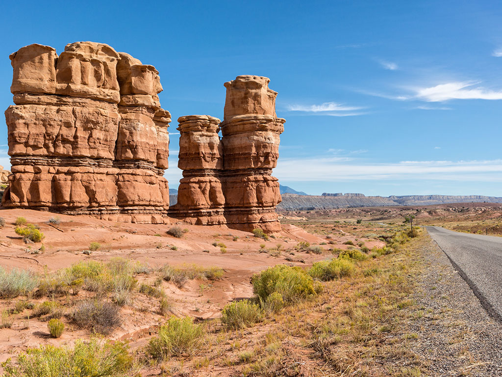
Head into the heart of the park on this short but absolutely scenic excursion. As you set off from the Capitol Reef visitors center, you’ll pass the early settlement of Fruita; stop here coming or going (or both) for pie and ice cream at the century-old Gifford Farmhouse or fruit from the U-pick orchards. The road climbs out of the Fremont River valley beneath a tall escarpment with tilted layers of rock. Stop to walk into the dry channels of the Grand Wash or continue on to Capitol Gorge (once the area’s main highway, now a hiking trail that passes between tall sandstone walls and leads to petroglyphs and early settler signatures carved into the rock walls).
Notom-Bullfrog Road
Starting point: Hwy 24 at eastern edge of Capitol Reef National Park
Ending point: Bullfrog Marina, Lake Powell
Mileage: 70 miles (113 km) one-way
Driving time: 3 hours
The views of the eastern edge of the Waterpocket Fold are a highlight of this drive. The partially paved road goes from the eastern edge of Capitol Reef to Bullfrog Marina in Glen Canyon National Recreation Area. The drive itself is long and slow but beautiful. Consider taking the whole day to explore the relatively uncrowded hikes up dry washes and into slot canyons.
From Bullfrog, take a car ferry across the lake to Halls Landing and follow the easy route to Natural Bridges National Monument, or head back north on a paved road to Hanksville and Goblin Valley State Park.
Tips for Driving in Utah’s Parks
During the summer, patience is the key to driving in Utah’s national parks. Roads are often crowded with slow-moving RVs, and traffic jams are not uncommon.
If you’re traveling on back roads, especially in the Grand Staircase-Escalante area, make sure you have plenty of gas, even if it means paying top dollar at a small-town gas pump.
Summer heat in the desert puts an extra strain on both cars and drivers. It’s worth double-checking your vehicle’s cooling system, engine oil, transmission fluid, fan belts, and tires to make sure they are in top condition. Carry several gallons of water in case of a breakdown or radiator trouble. Never leave children or pets in a parked car during warm weather; temperatures inside can cause fatal heatstroke in minutes.
At times the desert has too much water, when late-summer storms frequently flood low spots in the road. Wait for the water level to subside before crossing. Dust storms can completely block visibility but tend to be short-lived. During such storms, pull completely off the road, stop, and turn off your lights so as not to confuse other drivers. Radio stations carry frequent weather updates when weather hazards exist.
If stranded, stay with your vehicle unless you’re positive of where to go for help, then leave a note explaining your route and departure time. Airplanes can easily spot a stranded car (tie a piece of cloth to your antenna), but a person walking is more difficult to see. It’s best to carry emergency supplies: blankets or sleeping bags, a first-aid kit, tools, jumper cables, a shovel, traction mats or chains, a flashlight, rain gear, water, food, and a can opener.
Traveling by RV
Traveling the Southwest’s national parks in an RV is a time-honored tradition, and travelers will have no problem finding RV rentals in major cities like Denver, Salt Lake City, and Las Vegas, which serve as gateways to the parks of Southern Utah. The parks have good campgrounds, and towns like Moab and Springdale have some very spiffy campground options with extras like swimming pools and fine-dining cookouts. Note that some parks limit RV access—during high season, no vehicles are allowed in Zion, where shuttle buses have replaced private vehicles along the scenic Zion Canyon Road. In Bryce, vehicles measuring 20 feet/6 meters or longer are restricted from the Bryce Amphitheater area during shuttle hours.
Maps
The Utah Department of Transportation prints and distributes a free, regularly updated map of Utah. Ask for it when you call for information or when you stop at a visitor information office. Benchmark Maps’ Utah Road and Recreation Atlas is loaded with beautiful maps, recreation information, and global positioning system (GPS) grids. If you’re planning on extensive backcountry exploration, be sure to ask locally about conditions.
If you’re looking for USGS topo maps, you can download them for free at www.topozone.com.
Looking to explore Utah’s parks on a longer trip? Check out our 9-day Utah road trip itinerary.
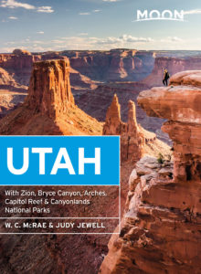
Recommended Travel Guides
Pin it for Later
